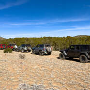
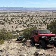
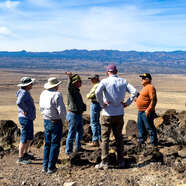
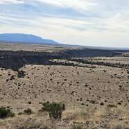
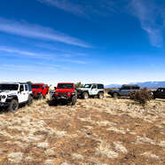
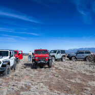
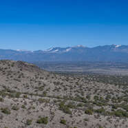
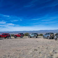
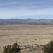
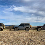
We had a perfect day for the journey across the southern portions of the plateau, including La Bajada Mesa, Tsinat Mesa, Las Tetillatas, and some hills along the border of SFNF, BLM, and State of NM properties. 6 vehicles ventured out in the Spring-like weather, stopping at some hills with unimpeded 360° views of the Jemez, Sangres, & Ortiz mountains. After the last hill we saw a pickup attempt the same, only to fail halfway up. We waited while he backed down safely. This was the day we were hoping for 2 months ago, and especially rewarding since there were 3 photographers in the group.
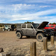
First stop RC Club Airstrip
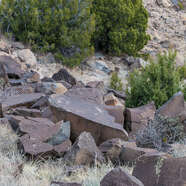
Petroglyph Cross?
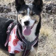
Janet & Willow
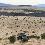
Top of first hill climb
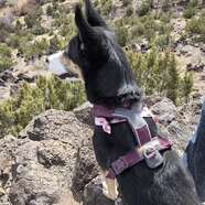
Willow on Watch
Pretty Girl
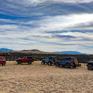
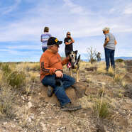
Taking a Break
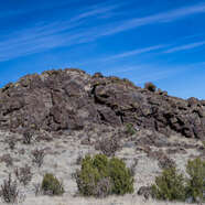
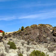
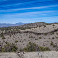
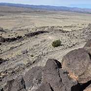
Basalt Dike
Not Much Snow in the Mountains
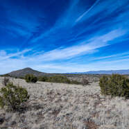
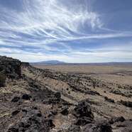
The sky cooperated today
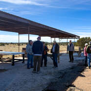
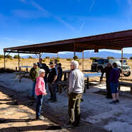
Lunch break at Hang Glider Hill
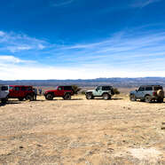
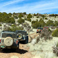
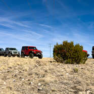
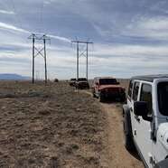
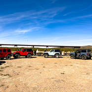
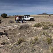
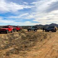
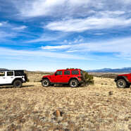
The Caravan
View of Cochiti Dam in distance
Historic Route 66
Old La Bajada - credit Rick Gonzales
Historic Route 66
Old La Bajada / Original Rt 66
Old La Bajada / Original Rt 66
Old Rt 66 toll booth foundation??
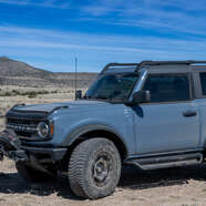
Glenn's Bronco
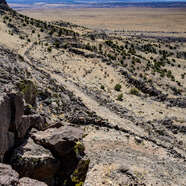
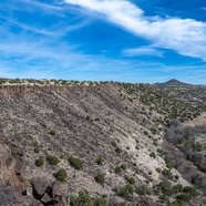
Santa Fe River Canyon - Rick Gonzales photo
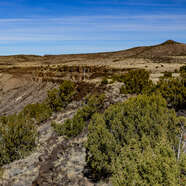
Santa Fe River Canyon
Farm in canyon
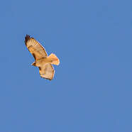
Good day to soar - credit Rick Gonzales
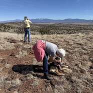
Time to look for petroglyphs
Petroglyphs
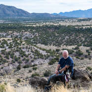
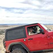
Mike & Willow Enjoying the View
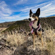
Willow in HEAVEN!
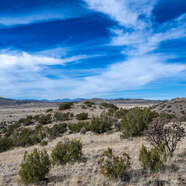
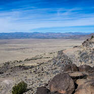
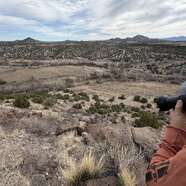
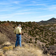
Enjoying the views
Willow enjoying herself
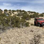
Ready for the big climb!
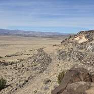
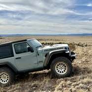
Steeper than it looked from below
Carol & John
Janet & Mike
At the top
At the top
Deputy Sheriff

Descending the last hill
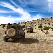
Air up time